Modelling & forecasting
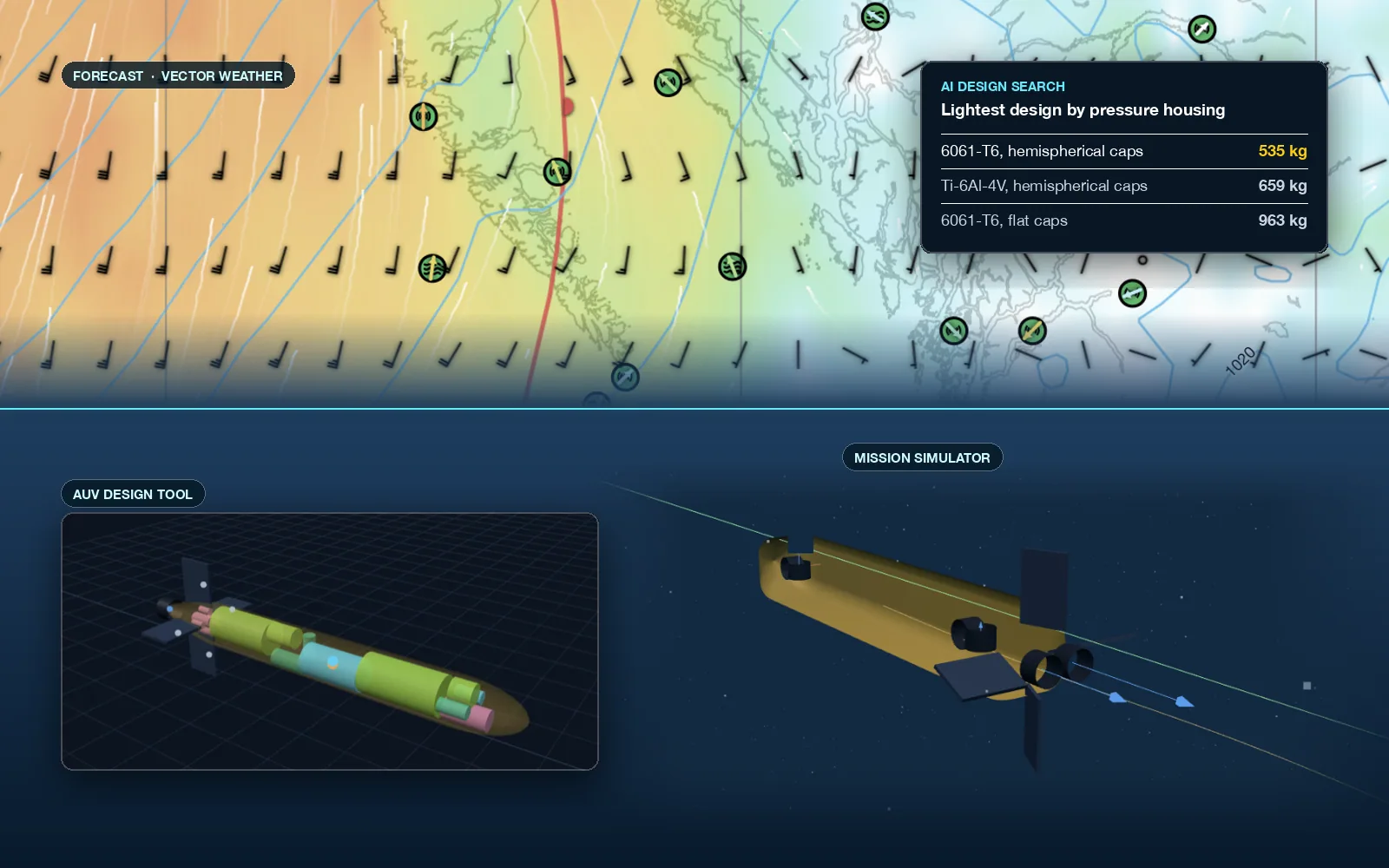
AI-augmented models that turn weather, sea state, and vessel behaviour into answers you can act on.
- Marine weather and sea-state forecasting
- AUV mission and towed-cable simulation
- Site-specific forecasting and hazard models
Selkie Tech · Salish Sea
AI-augmented modelling and forecasting, ROV and AUV subsystems, on-water operations support, and vessel instrumentation. Built and tested on the Salish Sea.
What we do
Each starts from the same place: the operational question you need answered, the vessel you have, and the water you work in.
AI-augmented models that turn weather, sea state, and vessel behaviour into answers you can act on.
Subsystems and engineering and design support for ROV and AUV builders, on systems from coastal to full ocean depth.
Planning, watchkeeping tools, and hands-on support for small-vessel operations.
Navigation instruments, sensors, and vessel data working together, aboard and ashore.
How it fits together
Our work runs in a loop. What we measure on the water improves the models; better models make the next job safer and faster.
Forecast the conditions and simulate the vehicle, cable, or vessel before anyone gets wet.
Turn the model into a plan: the window, the route, the limits, and the fallback.
Specify, build, and integrate the systems and instruments the job needs.
Run the job with live conditions, tracking, and alerts in hand.
Feed what the instruments recorded back into the models.
Products
Marine weather decision support: route and anchorage analysis, multi-model forecasts, fronts, sea ice, alerts, and an anchor alarm that reaches your phone.
About Vector WeatherOpen-source plugins that bring forecasts, dual-GPS heading, and weather-station data into your boat's Signal K server.
See the pluginsAUV mission and towed-cable dynamics simulators that sit behind our modelling and subsea work.
See the AUV simulator How we use themWhere we work
On-water work is based here, where we know the passes, the currents, and the weather. Our software and products are used wherever our clients operate.
Notes
Tell us what you need to decide, build, or run. We will tell you honestly whether we can help.